
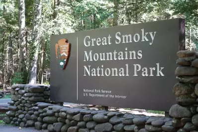
By now, you’ve probably heard about some of the most popular places to visit in Great Smoky Mountains National Park. Cades Cove, Clingmans Dome, Elkmont, Roaring Fork, Newfound Gap and others all have a unique charm and a natural beauty that’s forever ingrained in your memory. Butt wait, there’s more! Among the many peaks that dot the Smoky Mountain skies is a lesser-known mountaintop with an unusual name: Holy Butt! Yes, you read that correctly! Continue reading to learn more about Holy Butt:
How Holy Butt Got its Name
Holy Butt was named after a recognizable shape, but probably not the one you’re thinking of! Generations ago, before Great Smoky Mountains National Park was ever established, natives would distinguish different peaks, valleys and other landmarks with monikers that resembled the shapes of these topographical features.
The name comes from a topographical feature known as a “butt”. A butt in topography terms refers to a mountain or ridge that suddenly ends, much like the butt end of a rifle. Think of it as a mountain that abruptly stops or breaks off. A butt is different from a “butte” or a steep hill or mountain with a flat top. You’ll find several of these “butts” in the Smoky Mountains, such as Big Butt, Cobb Butt, Mollies Butt and Butt Mountain.
Holy Butt was initially known as Holly Butt because of the many American Holly trees that line its ridge! A stream that traversed Holly Butt, known as Holly Branch, today runs along Ski Mountain Road. Holy Butt is located near the edge of the park in Sevier County, just above Chalet Village in Gatlinburg.
How to Reach Holy Butt

Holy Butt is accessible in Great Smoky Mountains National Park via 2 different hiking trails: Cove Mountain Laurel Falls Loop Trail and Cove Mountain Trail to Little Brier Gap. Both of these hikes are of significant lengths and considered to be strenuous.
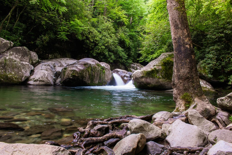
The Cove Mountain Laurel Falls Loop Trail is a 16.1-mile loop trail that takes roughly 8 hours to complete. You’ll start along the Laurel Falls Trail, a popular paved trail that runs 1.3 miles until you reach Laurel Falls. Rather than turning around at the falls, you’ll continue along the trail above Laurel Falls, through old-growth forests to the crest of Cove Mountain.
Cove Mountain Trail to Little Brier Gap stretches for 11.5 miles and takes about 6 hours to complete. The trailhead starts near Sugarlands Visitor Center, starting a steady climb up Cove Mountain. You’ll pass Cataract Falls early in the hike. Cataract Branch drains a narrow valley located just below Holy Butt. You’ll continue along the northern edge of the park, eventually reaching Holy Butt along the way.
There you have it! If you’re up for a challenge and want to experience something different, add Holy Butt to your list of places to explore in Great Smoky Mountains National Park! It’s just another of the many great reasons to visit the national park!