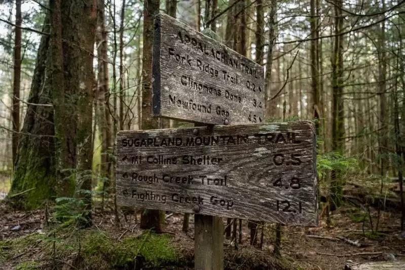

So you’re all geared up for a day of hiking in the Great Smoky Mountains National Park, but now the big question – where to go?! After all, there are more than 850 hiking trails in the Smokies with varying degrees of difficulty! The good news is that there are several places where you can go to research the maps and discover what might appeal to you, whether it be a waterfall hike or a trek to see some of the park’s interesting historical buildings! Here are the top 3 places to find Smoky Mountain trail maps for your hiking adventures:
1. Great Smoky Mountains National Park Website
One place to find Smoky Mountain trail maps for your hiking adventures is on the official Great Smoky Mountains National Park website, where you can download all the official trails in the park. You’ll also be able to download other maps in the park too, such as the location of park roads, visitor centers, picnic areas, and campgrounds. We recommend printing out the maps at home before your trip or saving a screenshot to your phone, as cell phone service is unavailable throughout much of the park.
2. Official Park Bookstore

One of the best places to find trail maps is at an official park bookstore, where you will also discover some excellent publications on various areas of interest in the park! These bookstores are located at several visitor center locations, including the Sugarlands Visitor Center, Oconaluftee Visitor Center, Cades Cove Visitor Center and the Clingmans Dome Visitor Information Station. The park’s bookstores are operated by the Great Smoky Mountains Association, a nonprofit partner of the park, and profits from purchases are donated to educational, scientific and historical projects in the park.
3. National Geographic Online Store
Some folks may feel that the trail maps are a bit hard to follow, especially if you are heading into the backcountry. As an alternative, consider the Great Smoky Mountains National Park map from National Geographic. This illustrated topographic map contains information for hikers who want to explore everything that the park has to offer, including more than 800 miles of mapped trails! This map also includes many of the park’s recreational features such as visitor centers, trail shelters, scenic overlooks and interpretive trails.
Additional Hiking Information

If you are feeling overwhelmed by the hundreds of hiking trails available in the Great Smoky Mountains National Park, take a look at our handy guide to hiking in the Smoky Mountains! This is the perfect place to get an overview of what to expect in the park, as well as some of the most popular trails and hikes that are recommended for families with children. You’ll also find plenty of helpful hiking safety tips too!
Now that you know where to pick up some Smoky Mountain trail maps for your hiking adventures, you’re ready for an action packed day in the park! If you want to explore some of the off the road trails that aren’t on the official trail map, check out these secret hiking trails in the Smoky Mountains!