The Alum Cave Trail is one of the most popular hiking trails in the Smoky Mountains because it features stunning views, natural geological markers and a well maintained trail! In fact, if you only have time to take one hike in the Smokies, it is recommended that you experience this trail! Before setting off on your adventure, we have some great information to help make the most of your day! Here are 4 helpful things to know about hiking the Alum Cave Trail:
1. What to Expect
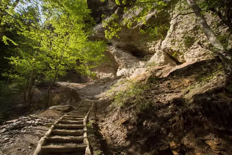
The trail travels 2.5 miles to Alum Cave Bluffs, and then continues another 2.5 miles to just below the summit of Mount LeConte. You can expect an elevation change of 1,200 feet during this beautiful hike, which makes it both challenging and rewarding! The Alum Cave Trail begins at an elevation of 3,830 feet and crosses bridges and streams, all while winding through a heavily forested section. The incline is gradual for the first mile, making it an easy warm up for the steeper sections that are ahead! The first main landmark you reach is Arch Rock, a large concentration of black slate that has formed a natural arch over time. The next stop is Inspiration Point, where you can enjoy phenomenal views from an elevation of 4,700 feet! You will eventually reach Alum Cave Bluff just before the halfway point on the trail.
2. About Alum Cave Bluff
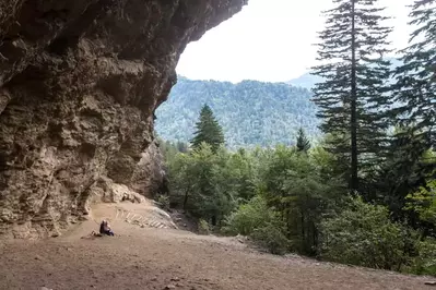
The name for the Alum Cave Trail comes from one of its natural landmarks, the Alum Cave Bluff. This unique landmark is actually not a cave, but rather a massive concave overhang that towers nearly 80 feet high! There is also some fascinating history about the Alum Cave Bluff! It was mined during the Civil War for saltpeter, which was used to make gunpowder. This area is a popular resting point, so you will see many other hikers catching their breath in the shade of the bluff! This is also a turnaround point for many folks, while others choose to continue to Mount LeConte.
3. Hiking Beyond to Mount LeConte

There is still over half of the Alum Cave Trail left after the Alum Cave Bluff, but note this is the steepest section with a gain of 1,000 feet in elevation! Take your time exploring this more strenuous part of the trail, and be sure to admire the flat-stoned Gracie’s Pulpit and views of Little Duck Hawk Ridge along the way! Once you reach the summit of Mount LeConte, you will be treated to some incredible views of the Smokies! This is also the site of the LeConte Lodge, which features primitive cabins and multi-room lodges.
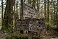
4. Where to Find the Trailhead and Parking
You can find the trailhead for the Alum Cave Trail just 12 miles south of Gatlinburg along Newfound Gap Road. There is a sign and two large parking areas at the trailhead. Due to the popularity of this trail, we recommend arriving as early as possible to get a good parking spot! This is especially important on weekends or during other peak travel times in the Smokies.
Now that you know some of the helpful information about hiking the Alum Cave Trail, check out some of the other fantastic hikes in the Smoky Mountains!